
 2 days Ago By Emily Johnson
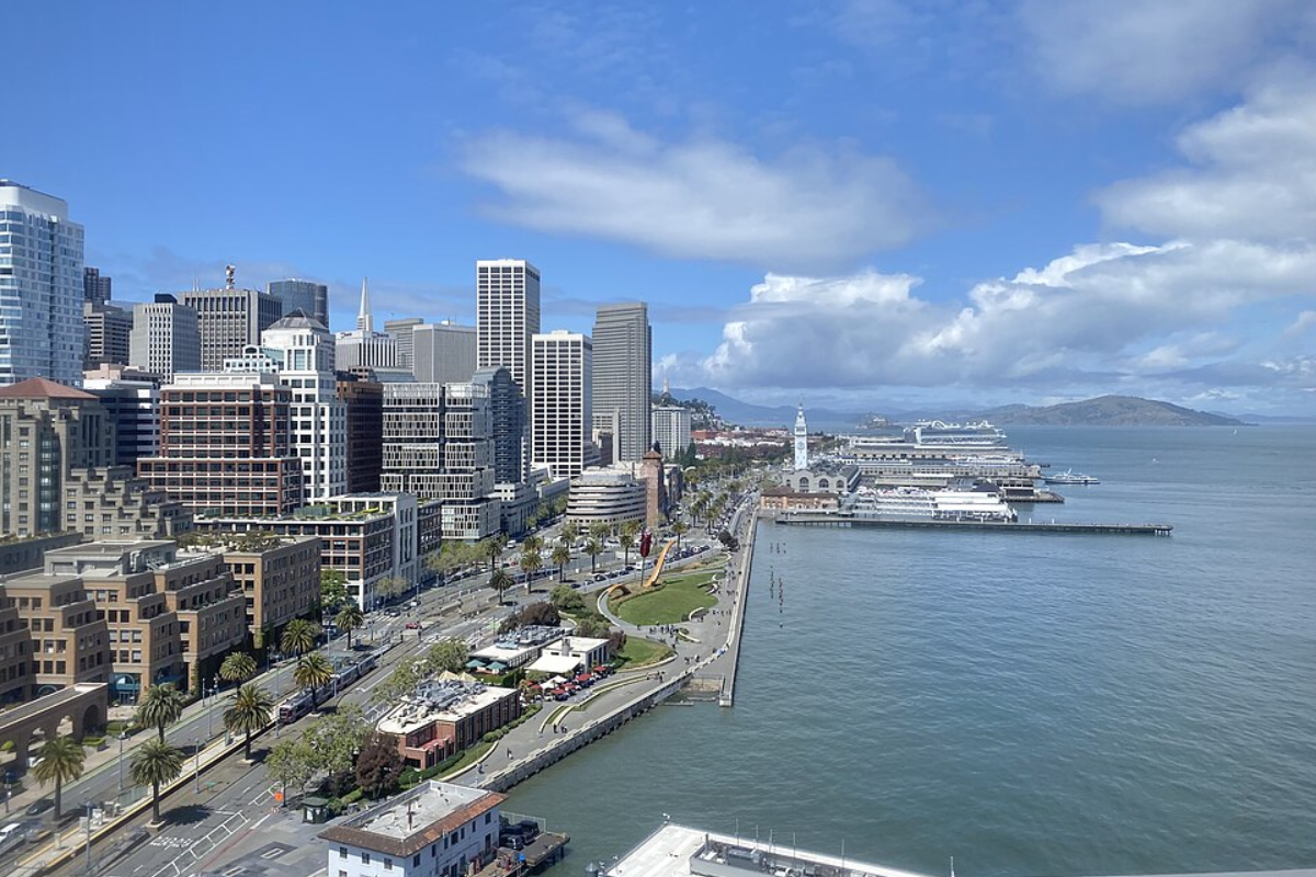
Bay Area residents can expect a shift towards warmer and drier conditions this week, following a dreary weekend. A weather synopsis issued early Monday morning predicts more seasonal weather arriving today and persisting through the workweek before another round of cooler, overcast weather with possible rain appears next weekend, according to the National Weather Service (NWS) in San Francisco.The National Weather Service also forecasts that while the chance of widespread dense fog has decreased, "there is still a decent chance for areas of fog during the Monday commute for areas currently under clear skies.
" If fog does form, it should dissipate by late morning as the air continues to dry. In the meantime, fog has already started filling up the Russian River valley, which indicates that Santa Rosa may soon experience similar conditions, as a social media post from NWS Bay Area advised earlier.🌫️Heads up Santa Rosa, it could get foggy later this morning.

When we see fog fill up the Russian River valley, it's usually a good sign Santa Rosa will get it soon. @ALERTCalifornia pic.twitter.
com/xkClI9UNE1— NWS Bay Area 🌉 (@NWSBayArea) April 28, 2025Weather enthusiasts can look forward to air temperatures climbing to the low to mid 70s for inland areas, with coastal destinations experiencing cooler temperatures in the low 60s, as stated by NWS San Francisco. In a detailed 7-day forecast, San Francisco is expected to enjoy sunny skies and highs fluctuating between the mid-60s and upper 60s throughout much of the week, barring the morning coastal fog.As for boating enthusiasts, strong northwest winds will make for hazardous seas across the outer coastal waters due to a high-pressure system building offshore.
"Gusty northwest winds developing due to a high pressure system building over the offshore waters through early week," the National Weather Service stated, noting the winds that will also result in hazardous seas across the outer coastal waters through early week. The maritime community should prepare for changing conditions as mid to late this week's winds are expected to weaken, coinciding with the approach of another upper-level trough late Friday..


