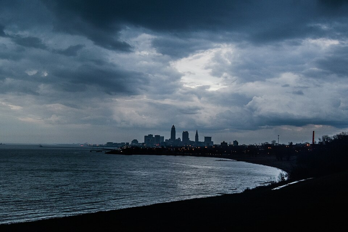
As Cleveland anticipates the shift in weather patterns, the National Weather Service in Cleveland has released an updated forecast for the region, cautioning residents of potential severe storms expected to hit the area come Tuesday afternoon and evening. According to the National Weather Service in Cleveland, in a recent Area Forecast Discussion, the greatest concern as we head into the week is the "potential for severe storms ahead of a cold front Tuesday afternoon and evening." The Storm Prediction Center's latest outlook puts parts of the area along and east of the I-71 corridor at an enhanced risk for wind-driven severe weather, with a slight risk declared for other regions.
The forecast details, obtained from the National Weather Service, reveal an "elevated mixed layer" developing over the Central Plains with mid-level lapse rates around 7 C/km anticipated to reach the Great Lakes following a warm frontal passage late tonight into early Tuesday morning, this will thus result in MLCAPE values increasing to around 1500 J/kg by Tuesday afternoon, accompanied by west bulk shear vectors nearing 40 to perhaps 45 knots along Lake Erie. However, forecasters highlight some uncertainty, particularly concerning the timing and location of where these severe storms might initiate—in this kind of weather situation, pinpoint precision can be elusive, and elements like convective debris originating from the Southern Plains may play a role in determining the severity and timing of the unfolding weather events.Post-Tuesday's tumultuous climate, the Area Forecast Discussion notes a brief respite as high pressure will momentarily build south across the Great Lakes on Wednesday, delivering a gradient in temperatures and likely a dry day before further overrunning leads to increased precipitation chances come Wednesday night, particularly toward NW Ohio.

The presence of a decent low-level jet also raises the odds for thunderstorms later in the week, though the specifics are, as of now, fluid and shrouded in typical atmospheric unpredictability.Looking further ahead, the long-term outlook indicates continued active weather patterns as an upper-level trough moves out of the Plains towards the Great Lakes Region, with the surface low pressure projected to journey across Southeast Lower Michigan by Thursday night, while forecasters are keeping an eye on possible strong thunderstorms and heavy rainfall due to the warm front and atmospheric conditions, uncertainty still looms over specific outcomes. Despite a cool down on Saturday morning, by Sunday, high pressure is expected to bring clearer skies and temperatures back to seasonal norms.
Mariners on Lake Erie are advised to stay vigilant as conditions on Tuesday could become hazardous, with the NWS warning of possible strong to severe thunderstorms that could lead to erratic winds, while later in the week, as another low-pressure system swoops in, a Small Craft Advisory might become necessary. Good marine conditions can be enjoyed today, but by tomorrow, residents and mariners alike should prepare for a significant uptick in wind velocity and thunderstorm activity..
Environment

Cleveland Braces for Severe Storms Tuesday, National Weather Service Cautions Residents Along I-71 Corridor

The National Weather Service forecasts severe storms for Cleveland on Tuesday afternoon and evening, with risks along the I-71 corridor. Uncertainties remain on the specifics of the storm's timing and location.


