
 2 days Ago By Tessa Bryant
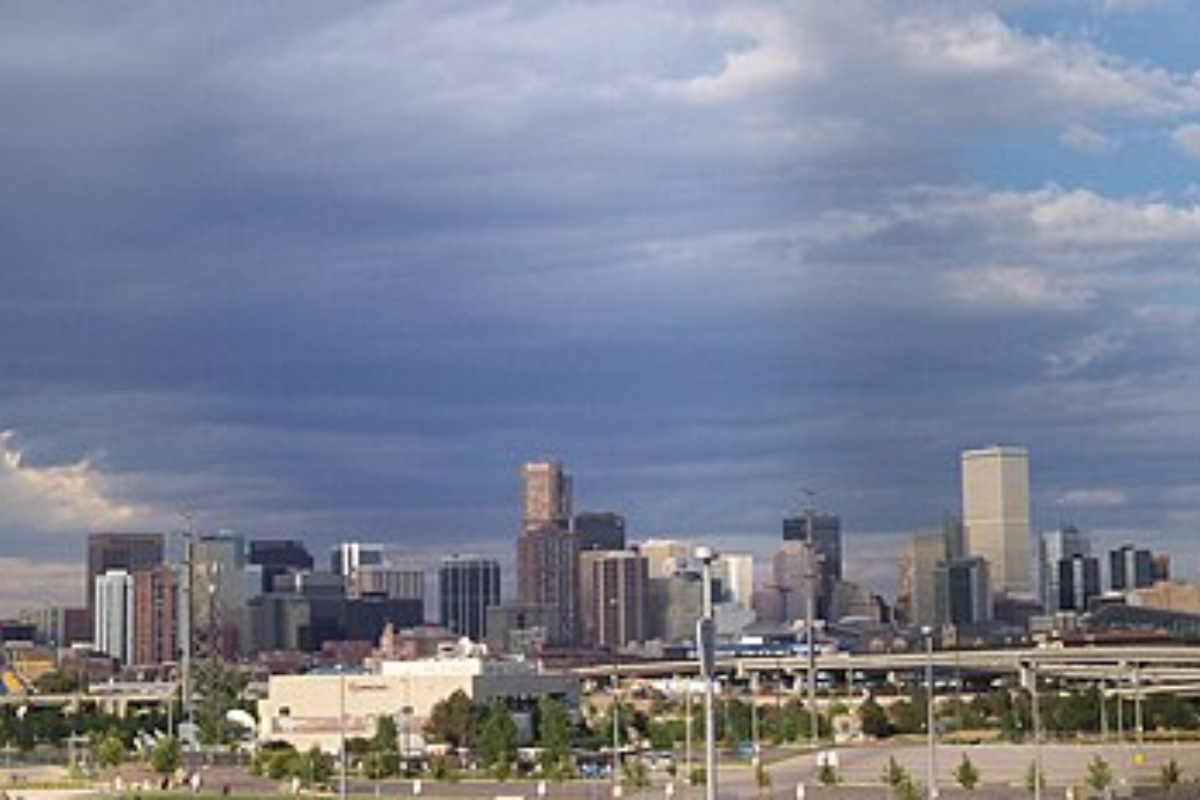
As Denver locals peer out their windows this morning to a sky smudged with gray, the National Weather Service, Denver/Boulder, CO, has predicted a mixed bag of weather conditions rolling through the region. According to the latest update, Denver is sitting at a cool 50°F with a humidity of 44 percent and a breeze coming from the northwest at 8 mph. The barometer marks 29.
82 in (1003.7 mb), indicating the likelihood of shifting weather patterns. For residents longing for a clear forecast, the whims of Colorado's climate may not offer much respite, as the NWS foresees a pattern of showers and thunderstorms dotting the week ahead.

Today, Denver's precipitation chances sit uncomfortably at 30%, with thunderstorms possibly joining the party post-3 pm. The temperatures might feel deceiving with a rosy high near 66, courtesy of the west wind sweeping through at 9 to 15 mph, gusts maxing out at 21 mph. Transitioning into the night, as detailed by the National Weather Service, there's a slight reprieve with only a 20 percent chance of evening showers and thunderstorms before 9 pm.
At the same time, temperatures drop to 39 for a cool, partly cloudy slumber.Tuesday's conditions mimic today's hesitant dance with a 40% chance of precipitation, a mix of showers and thunderstorms anticipated to develop after the noon hour as the temperature climbs back up near that 66-degree mark. Winds are expected to be lighter, though with potential gusts whispering promises of tumult at 16 mph.
The curtain of night falls with a sparse 20 percent chance of showers before midnight, tugging down the clouds to reveal a clearer sky above.Wednesday ushers in warmer weather, teasing with a high near 71, although the NWS cautions against getting too comfortable outdoors as showers are pegged with a 40 percent chance of dampening plans after noon. Come evening, rain lovers will find their moment, a robust 80% chance of showers and a thunderstorm, ushering in a night with a low snuggling close to 42.
Thursday follows suit but tones down the dramatics slightly by morning with a 60% chance of showers, then easing into a star-speckled treat with a slight chance of showers before midnight.Glancing further out to the weekend, the forecast anticipates a slight chance of showers amidst generous sun, with highs flirting with the mid-70s. But weather forecasters should heed the NWS's hazardous weather outlook, which targeted northeast and north central Colorado for potential inclement conditions, albeit without the need for spotter activation.
Scattered rain showers are expected through tonight, mainly north of Interstate 70, predicted the hazardous weather outlook, insisting that severe weather threats remain low, with warmer and drier weather will return Friday through next weekend, breathing a collective sigh of hopeful anticipation to the residents of the Mile High City..


