
 1 week Ago By Josephine Liu
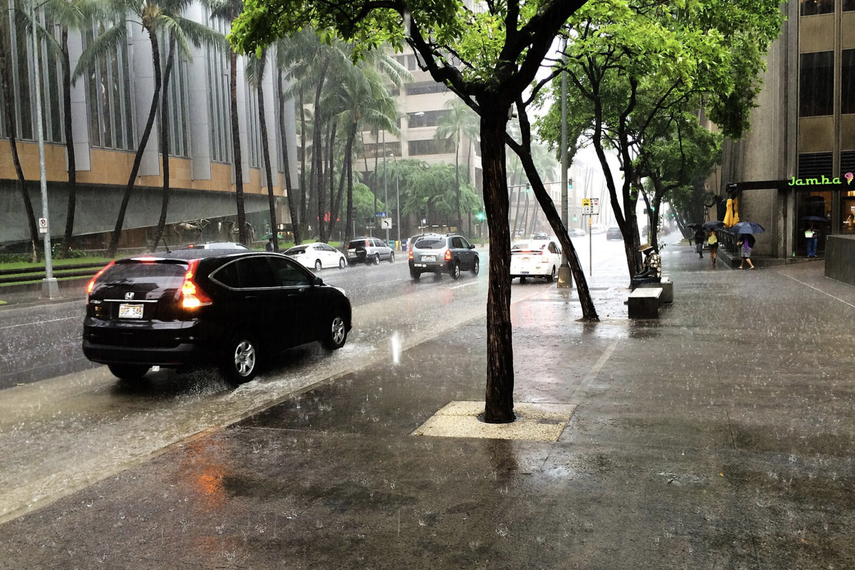
Honolulu residents can anticipate a shift from moderate trade winds and passing showers today to a wetter scenario beginning Tuesday, as a low pressure system moves closer to the state. According to the National Weather Service , this approaching system from the northwest is predicted to drag moisture-laden southerly winds towards the islands, elevating the likelihood of heavy rainfall and isolated thunderstorms, particularly over Kauai in the coming days. The forecast, as detailed by the NWS , indicates that the trade winds will diminished today, allowing for localized breezes that could muster a few showers in the interior regions.
Despite these conditions, the current stable airmass is expected to keep rainfall totals in check. However, Kauai and Oahu might start seeing heavier showers and potential thunderstorms by Wednesday. The weather advisories for the upcoming events hinge on the impending low pressure system, said to strengthen, and an associated upper-level low which will intensify wet conditions as it sinks southward over time.

Substantial precipitation differences could unfold across the Hawaiian archipelago later this week, due to the movement of the aforementioned weather system. A Flood Watch may be initiated for Kauai through the Tuesday-Wednesday window if the situation demands. Although ensemble guidance suggests the main moisture axis will remain west of Kauai, "it would only take a slight shift more eastward for Kauai to be under the main moisture band," the NWS forecast discussion notes.
All islands are expected to experience scattered showers, with Kauai forecast to receive the most significant rainfall during this wet period. In line with air traffic, moderate trade winds are expected to ease slightly today. The forecast indicates that mountain and windward areas will likely experience overcast skies and showers, with brief periods of marginal visual flight rules (MVFR) conditions in passing showers.
For mariners, easterly trade winds are expected to moderate and shift southeast early this week, leading to moderate conditions across most waters. Additionally, the surf report anticipates a medium-period northwest swell arriving tonight, increasing surf by Wednesday, followed by a decrease lasting into the weekend, with another small swell expected next weekend. There are no active warnings or advisories at this time.
For the latest weather updates and any new advisories, residents are advised to monitor the NWS Honolulu Weather forecast ..