 2 weeks Ago By Gabriela Martinez
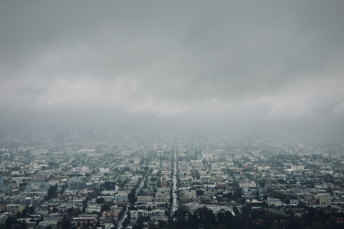
The National Weather Service has predicted a gradual dip in temperatures over the coming week. Today's patchy dense fog will clear up by midday, with conditions becoming mostly sunny and highs nearing 76 degrees. Light winds from the south-southeast will turn southwest later in the afternoon, according to the National Weather Service for Los Angeles.
Tonight, the city will see patchy fog after 11:00 p.m., and the presence of increasing clouds could be a precursor to cooler temps, with lows hovering around 54 degrees.

The south-southwest wind will shift, becoming light and variable as the evening progresses. Patchy fog is also expected before 11:00 a.m.
on Sunday, but skies should clear up gradually, bringing in a high around 71 and light winds that will pick up slightly by the afternoon.Sunday night's forecast is looking at increasing clouds with a gentle southwest breeze calming down by nightfall, while Monday’s highs are likely to bounce back up near 75 degrees. The pattern of patchy morning fog will continue into the early part of next week, potentially causing minor disruptions for those trying to commute during early hours.
But for most, the overcast skies should yield to sunshine by midday.The coming days will witness a general cooling trend, with Tuesday's "mostly sunny" outlook giving way to "mostly cloudy" evenings as the lows settle around 52. This pattern will continue through Thursday, with partly sunny days and more cloud cover rolling in by night, while Friday's temperatures will cool further to a high around 66, according to the weather service.
.