 1 week Ago
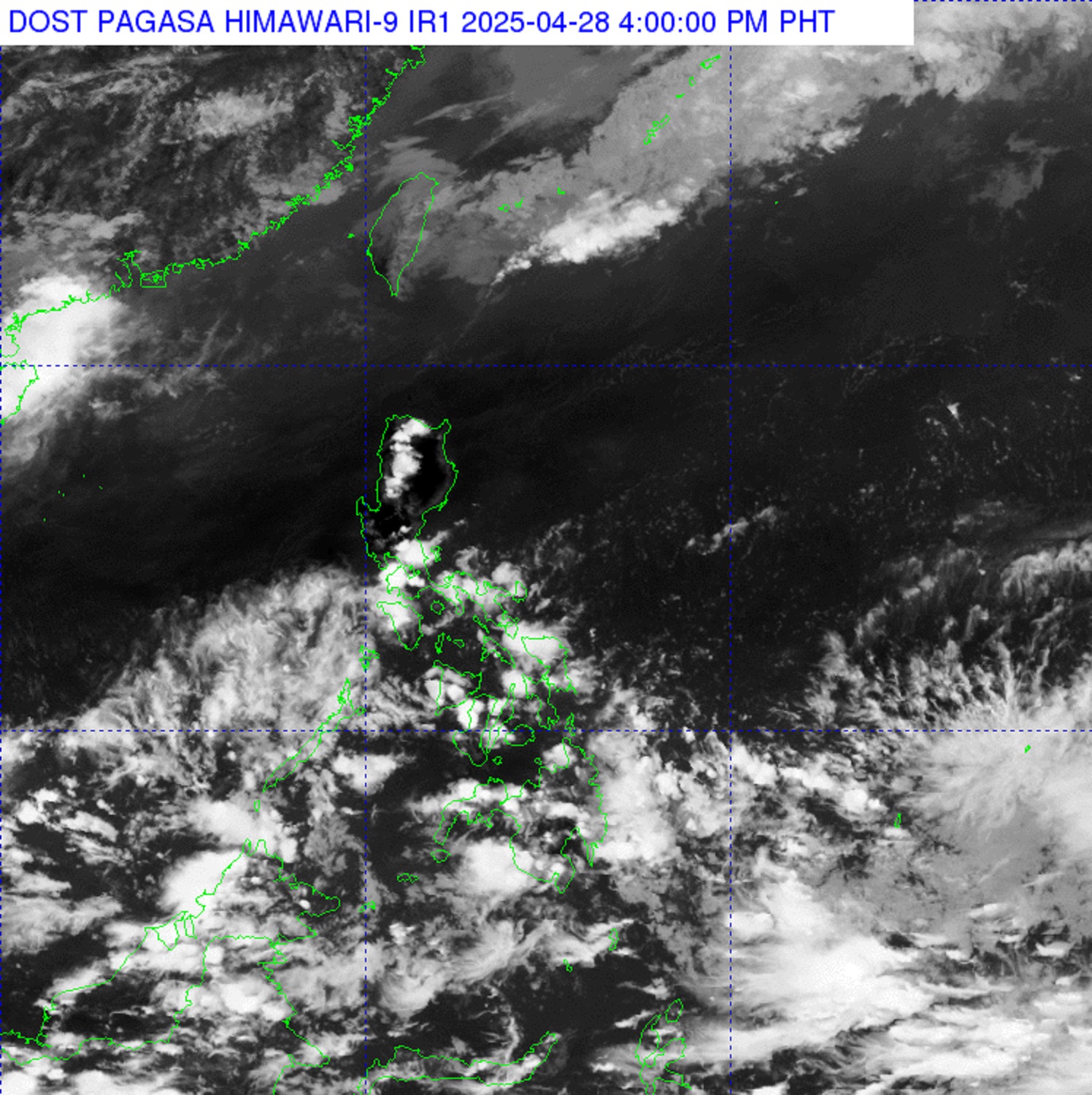
A low-pressure area located within the Philippine Area of Responsibility and approximately 735 kilometers east of General Santos City was unlikely to develop into a tropical cyclone within the next 24 hours, PAGASA reported Monday afternoon. As of 3 p.m.
, the weather bureau said the LPA was embedded along the Intertropical Convergence Zone. For now, the trough of the LPA is expected to bring cloudy skies with scattered rain showers and thunderstorms over the Caraga and Davao Regions. Meanwhile, the rest of Mindanao and Palawan will experience cloudy skies with scattered rains and thunderstorms due to the ITCZ.

Moderate to occasionally heavy rainfall may lead to flash floods and landslides. Metro Manila and the rest of the country would meanwhile have partly cloudy to cloudy skies with isolated rain showers or thunderstorms, brought by the Easterlies. Severe thunderstorms could also trigger flash floods and landslides in some areas.
PAGASA added that winds would be light to moderate, with slight to moderate coastal conditions across the country. Sunrise in Metro Manila was expected at 5:35 a.m.
on Tuesday. — DVM, GMA Integrated News.