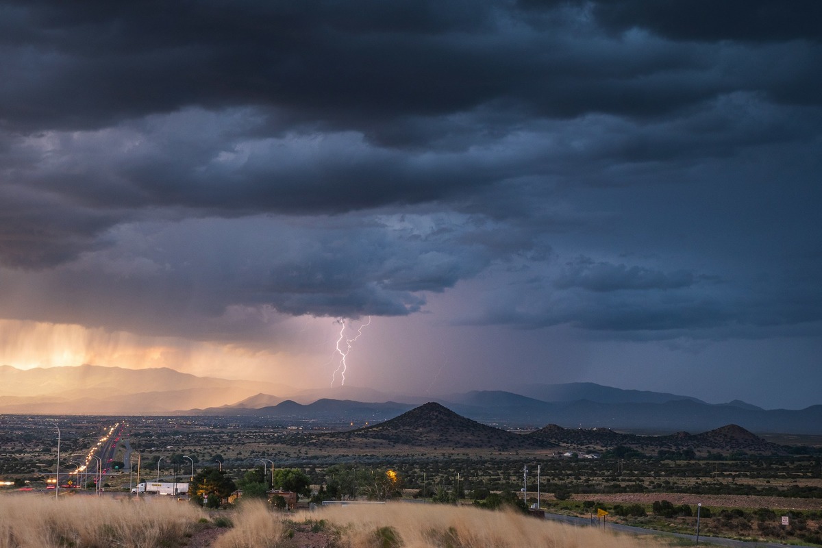
Minneapolis residents are bracing for a bout of severe weather today, with forecasters predicting a 100% chance of showers and thunderstorms, potentially bringing some hazardous conditions. According to the National Weather Service, the storms are mainly expected before 3 pm, with a high near 75 degrees and breezy conditions featuring south southeast winds of 15 to 20 mph and gusts as high as 35 mph.Some of these storms "could be severe," the NWS warns, with new rainfall amounts between a quarter and half of an inch possible.
The temperatures will dip tonight with further showers and thunderstorms likely before 10 pm, then a chance of showers after 3 am. It will remain mostly cloudy with a low around 43, and south southwest winds that are set to continue at 15 to 20 mph, becoming northwest after midnight and possibly gusting as high as 30 mph. The chance of precipitation stands at 60%, with new precipitation amounts between a tenth and a quarter of an inch, except higher amounts are possible in thunderstorms.

Moving into Tuesday, there is a small 10 percent chance of morning showers before skies start to clear. Residents can expect a high near 60 and the wind to shift to the northwest, blowing at 10 to 15 mph, and potentially gusting as high as 30 mph. The National Weather Service anticipates mostly clear conditions Tuesday night with a low around 41 and the wind calming down by evening.
The rest of the week seems a bit brighter, with mostly sunny skies and highs fluctuating between 60s and mid-70s for Minneapolis.Meanwhile, a statement issued early this morning by the NWS places the region under a "Moderate Risk" for severe weather. "Numerous severe thunderstorms are likely this afternoon and early evening," with the outlook suggesting "very large hail, damaging winds, and tornadoes are likely.
" It was also noted that "a few strong tornadoes are possible," a stark reminder for the community to remain vigilant. The Hazardous Weather Outlook extends not only to this region but also to parts of central and southern Minnesota and west-central Wisconsin.Looking ahead past the storm threat, "No hazardous weather is expected at this time" for the days of Tuesday through Sunday.
The NWS also calls for potential SKYWARN spotter activation, suggesting that local weather enthusiasts may need to be on standby to report severe weather occurrences to authorities to aid in tracking and response measures. This early warning system could prove to be crucial in preventing or mitigating damage and ensuring the safety of the Minneapolis community..
Environment

Minneapolis on High Alert for Severe Storms; NWS Warns of Potential Tornadoes

Minneapolis faces severe weather with a 100% chance of storms and possible hazardous conditions, as predicted by the NWS.


