
 2 days Ago By Samuel Hansen
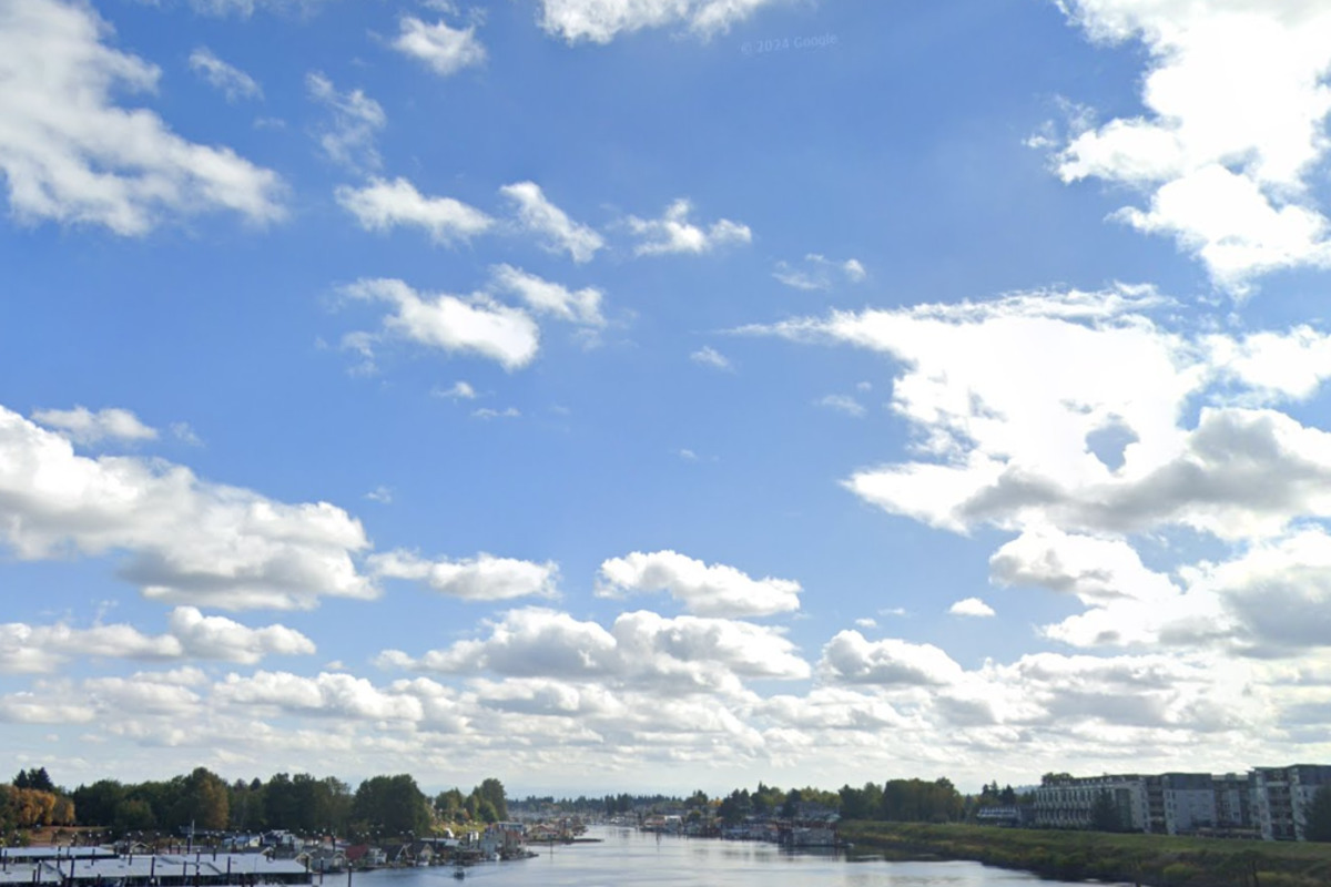
According to the National Weather Service in Portland, Oregon, residents can look forward to mostly cloudy skies today, with a high temperature nearing 64 degrees. The calm wind is expected to shift to a south southwest direction at about 5 mph in the afternoon. As night falls, the prospect of rain grows, with a 50 percent chance of rain after 3 a.
m. and lows around 50 degrees.The forecast for the remainder of the week indicates that Tuesday will bring a 60 percent chance of morning rain, potentially shifting to just a slight chance of showers later in the day, as the clouds persist with highs approaching 65 degrees.

Partly cloudy skies are on tap for Tuesday night as the temperature dips to about 42, and west winds at approximately 6 mph eventually becoming calm.Sunshine takes over Wednesday, with the mercury climbing towards a pleasant 70 degrees. The clear trend continues into Wednesday night with a low hovering around 46.
The warmth peaks on Thursday, with an anticipated high of 80 degrees under sunny skies.However, as the week progresses, Portland's weather narrative takes a turn. The potential for rain returns on Friday, mainly after 11 a.
m., although the day will be partly sunny with temperatures peaking at 68. The NWS also predicts rain to be a main feature Friday night, predominantly before 11 p.
m., while the low settles around 46. Over the weekend, rain remains likely with partial sunshine, oscillating highs in the low 60s, and lows in the low 40s.
Looking ahead to Sunday, the weather continues it's inconsistent pattern with chances of rain amidst partially sunny conditions and a high near 64 degrees..


