 1 week Ago By Ben J. Costas
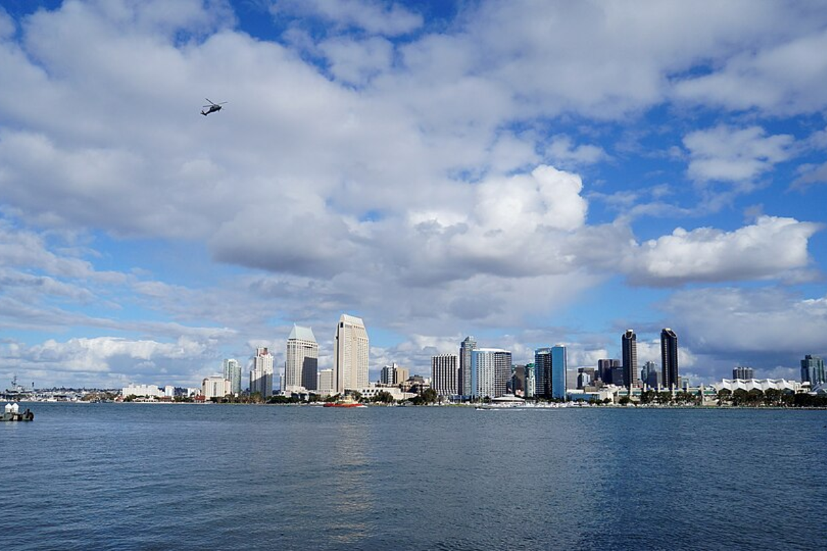
San Diego residents can expect a week featuring the typical ebb and flow of the marine layer, with gradual warming and cooling influencing coastal and inland areas. According to information from the National Weather Service San Diego, temperatures along the coast are set to hover between 63 and 70 degrees today, with inland valleys reaching up to 80 degrees. Mountain areas will experience highs between 62 and 72 degrees, while the deserts can anticipate temperatures between 77 and 93 degrees.
Not much change is in store for tomorrow, Tuesday, with only a slight cooling expected in coastal regions and valleys. As detailed by the same source, the trend is to slightly cool down more noticeably by Wednesday, when coastal areas range from 63 to 69 degrees and inland regions from 67 to 75 degrees. The marine layer gently deepens, introducing cooler air and wrapping the land in a soft, misty embrace.

An Area Forecast Discussion by the National Weather Service elaborates on these trends, showing "a weak low pressure system" contributing to strengthening onshore flow through Wednesday. A marine layer around 1500 feet deep is expected to begin to deepen for Tuesday night into Wednesday, setting the stage for lower temperatures and increased coverage of low clouds inland. By the weekend, the forecast points to high temperatures dipping a few degrees below average near the coast to 5 to 10 degrees below average for the mountains.
The deepening marine layer promises to maintain San Diego's iconic cloudy mornings. "Greater coverage is expected for tonight into Tuesday morning from the coastal waters inland into the western valleys with greater spread into the valleys for Tuesday night into Wednesday morning," the National Weather Service states. Over the weekend, the low pressure near California's coast will contribute to cooler temperatures and a thickening marine layer, likely bringing coastal low clouds well into the inland areas.
The forecast hints at an upturn in temperatures early next week, with high pressure strengthening off the West Coast. This will usher in a bit of warmth for Southern California residents. Despite the shifting dynamic of coastal clouds and inland clear skies, the detailed 7-day weather outlook suggests a stable pattern of cloudy mornings gradually yielding to sunny afternoons.
Nights, meanwhile, are predicted to see increasing clouds, with temperatures gently resting around the mid-50s..