
 1 week Ago By Aaron Brackett/KFOR
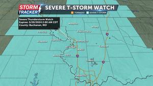
Thankfully after the last two weeks of severe weather, we can take a break, but that doesn’t mean we will be dry. A cold front is working through the state the rest of the day Wednesday. With a cap in place, it won’t form storms until this evening as it makes its way into southeastern Oklahoma.
Hail and high winds, as well as a tornado are possible there. Expect a few more clouds with a rogue shower Thursday morning, otherwise we will be dry until Sunday. Showers and storms will be here for the second half of the weekend into next week with very low severe weather chances.

-Meteorologist Aaron Brackett Close Modal Suggest a Correction Your name (required) Your email (required) Report a typo or grammatical error (required) Submit Δ Suggest a Correction.