
 1 day Ago By Maya Collins
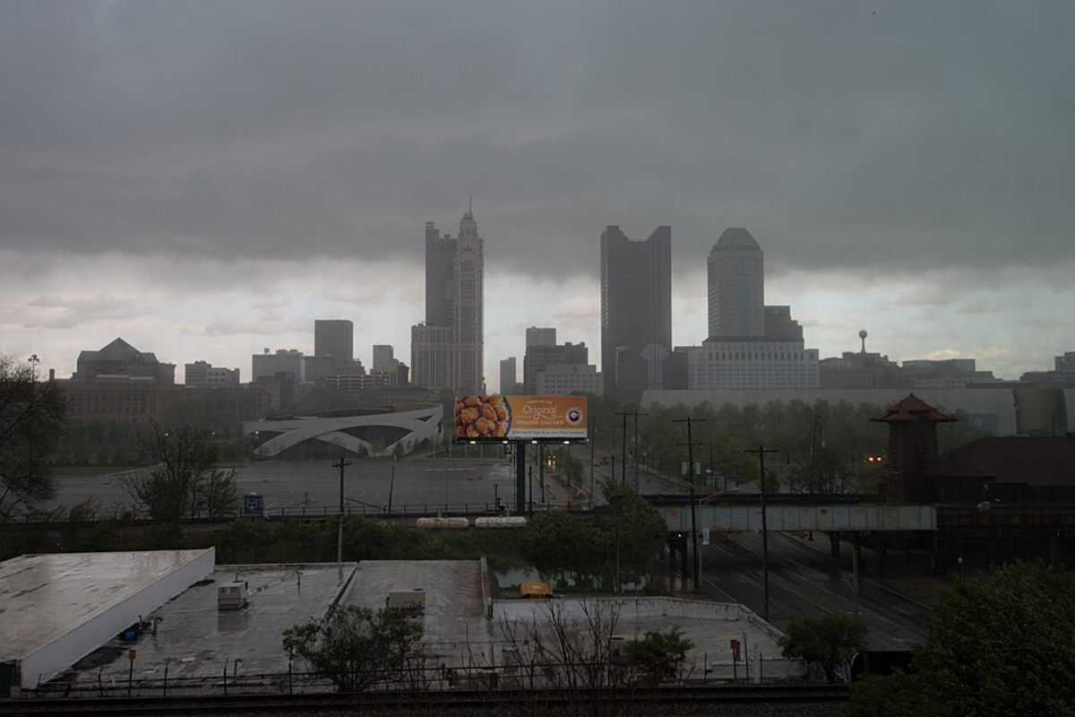
For those in the Columbus, Cincinnati, and Wilmington areas, keep an umbrella close and brace for gusty conditions. The National Weather Service in Wilmington, Ohio, has issued a forecast predicting showers and thunderstorms throughout the day due to a cold front passing through. Some storms may become strong to severe in nature.
According to the latest forecast, "Moderate instability is expected to develop today as SBCAPE values likely reach 1500- 2000+ J/kg."Residents should be prepared for this unsettled weather pattern, which is projected to persist across the Ohio Valley for the remainder of the work week. Today's forecast includes a possibility for a few discrete cells to quickly form and potentially merge into a more organized cluster by early afternoon, associated with the pre-frontal trough.

"Severe threat potential" is anticipated to recede by 9PM to 10PM, provided no unforeseen storm complexes crop up afterward. During all this, winds outside of thunderstorms are expected to blow with sustained speeds of 10-20 mph, with gusts between 25-35 mph out of the south-southwest, as provided in the forecast by the National Weather Service.On Wednesday, the weather's intensity is set to decrease, with lighter surface winds and high temperatures ranging from the middle 60s to the middle 70s across the forecast area.
While most regions north of the Ohio River may stay dry, areas near the river are to see increased chances for precipitation in the afternoon. The stalled cold front, expected to lift northward as a warm front by Wednesday morning, may potentially fuel more showers and limited strong storm activity.Come Thursday, a new shortwave, originating from the Ozarks, is expected to deamplify while journeying up the valley, potentially bringing showers and thunderstorms along a lifting warm front.
Diurnal heating and upper atmospheric support will likely intensify the precipitation, which should taper off once the short wave moves on later Thursday night. Looking ahead, temperatures will stay above average through Friday, dipping below normal over the weekend. The forecast moving into next week remains somewhat uncertain due to a broad range of possible outcomes related to the development and movement of a closed low-pressure system.
Travelers and pilots should be aware of aviation-related impacts. The National Weather Service advises that ceilings are expected to remain VFR with passing storms, but visibility could drop to MVFR/IFR levels in heavier rainfall, while strong winds are also probable. There's a post-thunderstorm chance of another isolated event, possibly complicating conditions into the late evening.
For ongoing updates and situation-specific details, check the National Weather Service's latest advisories and forecasts..


