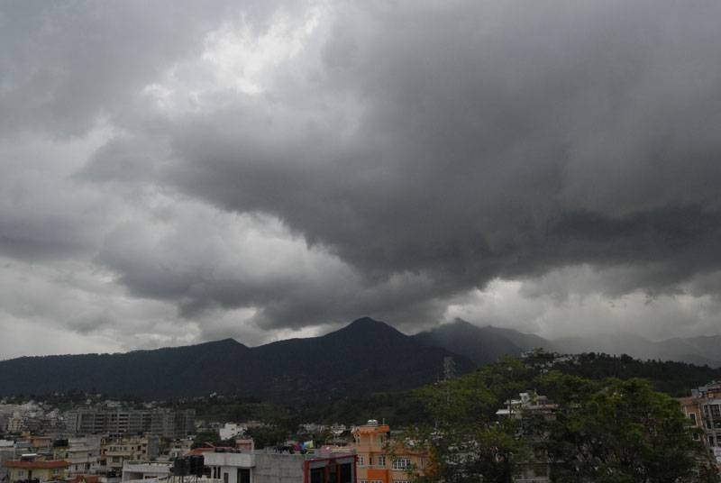
Today will look to be the calm before the storm for much of southeast Minnesota. Clouds blanket the region and we do get the chance for a stray sprinkle or two, as highs stay in the 60s today. The best chance for rain will come through the morning, giving way to a mix of sun and clouds by the afternoon.
Tomorrow is where the risks will ramp up through the region, with highs in the 70s for the afternoon. As it stands, all hazards for severe weather will be possible and probable Monday, ranging from large hail and tornadoes possible early on, to a better chance for strong winds and embedded tornadoes as the day goes on. Right now, timing looks to be broadly for the afternoon and evening.

However, an overnight round even going into Monday morning does look possible for parts of the region, especially up towards the Twin Cities. ADVERTISEMENT Right now, it appears the greatest risk around southeast Minnesota will be from mid-afternoon Monday to just after sunset Monday night. It will be important to remain weather aware for that time, and have plans in place for when you need to react to any warnings you may receive.
After the storms pass through, Tuesday will see temperatures drop back to the 50s for highs behind the cold front sliding through with the storms, before entering a drier stretch heading to the end of April..
Environment

Stray showers today, while tracking severe weather to start the week

Today will bring spotty showers to the region, but the main focus of the forecast will be the elevated risk for severe storms tomorrow.


