
 1 day Ago By Erin Collins
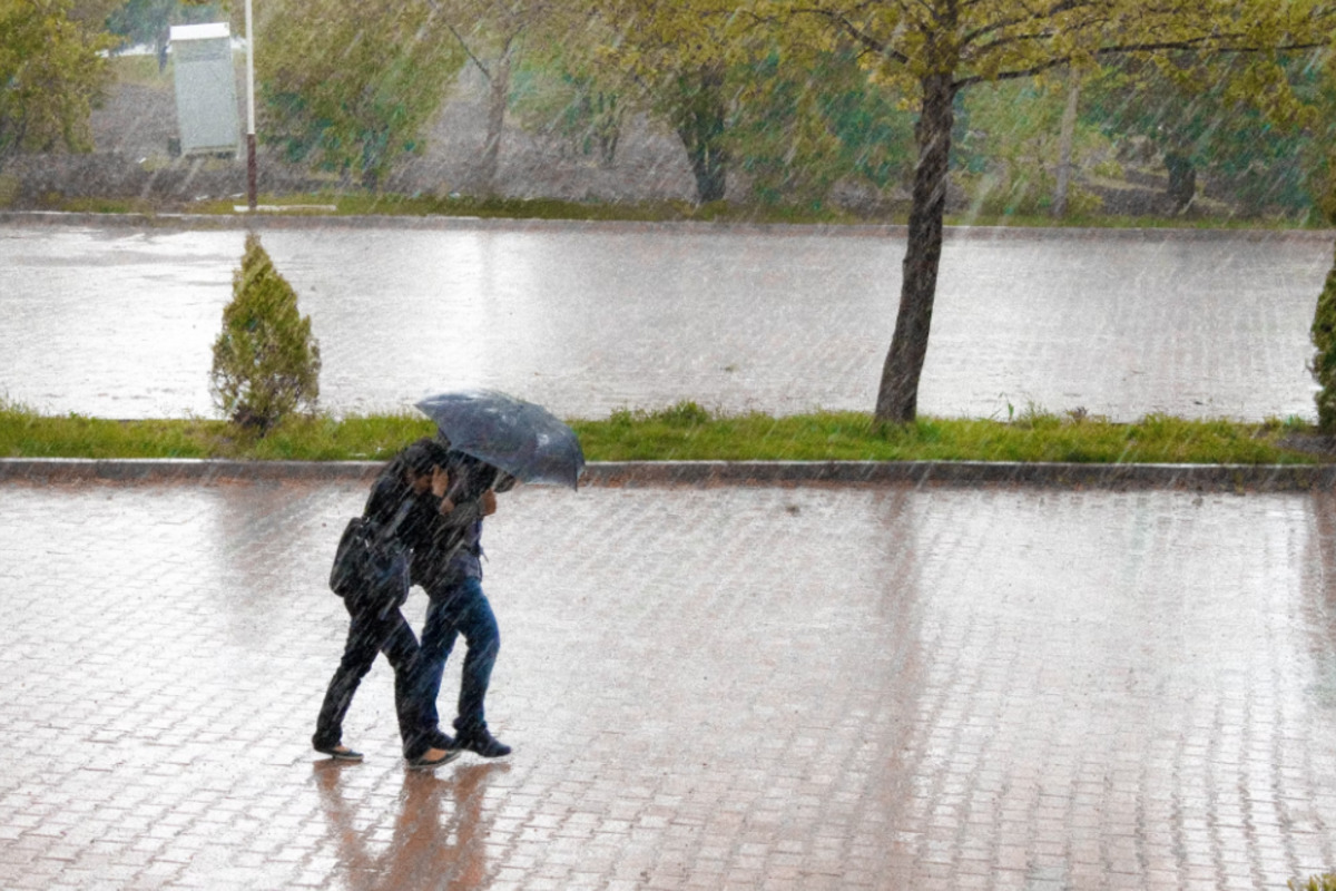
Honolulu's weather forecast for today paints a picture of a potentially quite wet and unstable environment, according to the National Weather Service (NWS) in Honolulu. The region is under the influence of a "moist unstable airmass" that's expected to persist through the day. Light winds will give way to sea breezes this afternoon, which could lead to locally heavy showers and a couple of thunderstorms.
For those planning outdoor activities, it's advised to keep an eye on the skies and be prepared for sudden downpours.The NWS detailed that "A weak surface trough is meandering between Kauai and Oahu," which is causing light winds across the state, as well as land breezes that are expected to stick around through the early morning hours. Meanwhile, an upper-level low is gearing up just east of the state, which should increase the instability.

This could mean areas east of Kauai may see heavier showers and potential thunderstorms as the day progresses. Residents and visitors should anticipate the possibility of brief periods of reduced visibility and necessary changes to travel or leisure plans.Good news is on the horizon, however, as the forecast indicates a shift in conditions starting Wednesday.
The NWS reports that a transition will occur with "gentle to moderate trades will gradually build back" thanks to the surface trough dissipating west. This will bring in some drier air and help to stabilize the airmass. By Friday, breezy trade winds are expected to make a comeback, harking to more familiar weather patterns for windward and mauka residents, where showers are anticipated mainly overnight and in the early mornings.
For those sensitive to vog, the current volcanic emissions and light background east southeast flow continue to keep vog across most of the state. Relief is expected by late Wednesday as the trades return, likely sweeping the haze away from the smaller islands. Mariners should also take note as the weak trough has been affecting the high-pressure ridge, resulting in lighter and more variable winds.
This could potentially change starting Wednesday, with the trades strengthening and possibly necessitating a Small Craft Advisory for certain areas around Maui and the Big Island come Thursday, according to NWS reports.The current weather condition has no HFO Watches/Warnings/Advisories in effect, suggesting that, while the weather might prove tricky with potential showers and thunderstorms, no severe weather alerts are necessary at this juncture. Keeping an eye on the latest updates from the NWS.
.


